Content from California Academy of Sciences.
Snapshot Cal Coast this year will be June 11th-June 30th. We included two weekends that should be good for holding (small, distanced) events.
We know that some folks may be able to hold small, physically distanced events and others may opt for more distributed ‘events’. We are happy to share ideas for how to engage folks and make observations in these times.
For those of you new to Snapshot Cal Coast, it is an annual California statewide effort to document our coastal biodiversity by getting people out along our coast over two weeks every summer to document plants, animals, and seaweeds using iNaturalist. Anyone can participate anywhere on the coast. Led by the California Academy of Sciences and the California Ocean Protection Council with support from the MPA Collaborative Network, the California Department of Fish and Wildlife, and many other awesome partners, together we create a snapshot in time of where species are located along our coast.
In 2021, we are especially interested in adding more locations, new partners, so help us spread the word. Contact Rebecca Johnson (rjohnson@calacademy.org) to be added to the mailing list to receive more information and resources.
Remember for Snapshot Cal Coast you can organize events or just grab a few colleagues or friends and head to the beach! The goals are to connect people to their coastal biodiversity, build community, and make observations from as many places along the coast as possible.
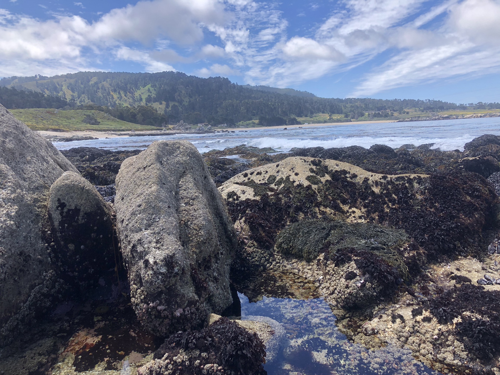
Photo of tidepools in Carmel Bay State Marine Conservation Area (SMCA) taken during Snapshot Cal Coast 2020 by Nicole Palma.
Crowdsourcing knowledge of California’s coastal areas most vulnerable to climate change
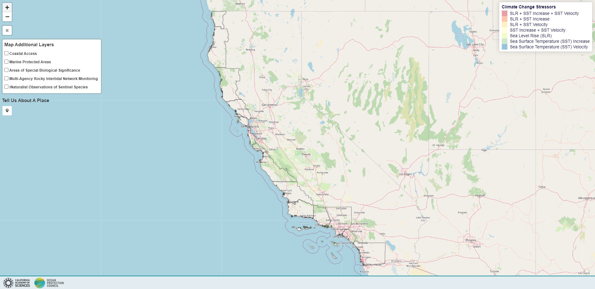
Dr. Gio Rapacciuolo, on our team, has been doing some amazing work to identify places along the coast that are projected to be most exposed to climate change. He quantified exposure to climate change by 2100 along California’s coast, looking at sea level rise and sea surface temperature increase and velocity. Then, he singled out the areas in each coastal county most exposed to one or more climate change stressors.
He built this tool that enables people who know best and care most about those climate change vulnerable areas to tell us about the particular places they contain and possibly help us keep a closer eye on them!
Watch a video about how this tool works.
Can you try out the tool and tell us about the places you know best AND share it widely with your networks?

